For maps, diagrams, and reference files, the central shopping decision is scope: do you need one precise document, or a broad archive that can support several kinds of Texas-history work? The 128 GB of Texas History in Historical Maps, Topo Maps, Historical Books is aimed at the second use case. At USD 99.95, it makes the most sense when county maps, topographic material, Sanborn maps, census maps, state maps, and books all belong in the same research project.
Quick verdict
This is a Texas-focused digital reference library for shoppers who want variety in one collection. Its appeal comes from the combination of historical maps, topographical maps, survey maps, census maps, and Texas-centric books rather than from a single narrowly defined file.
The main decision is whether that breadth matches your work. For a genealogist tracing a Texas property, an educator exploring regional history, or a researcher moving between map types and historical texts, the collection has a clear use case. For someone seeking one specific map or a narrowly bounded reference file, the archive's wide subject mix may be more than the task requires.
128 GB of Texas History
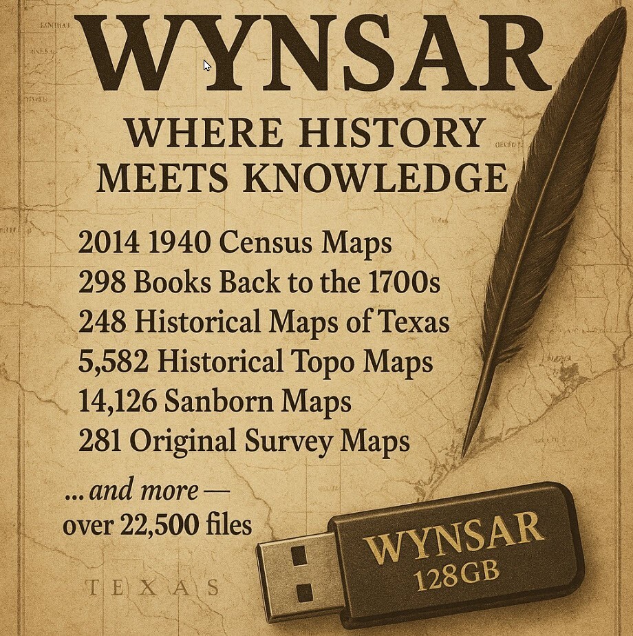
The strongest reason to choose this collection is its Texas-specific concentration across several forms of historical reference material. The central limitation is the same focus: the content is built around Texas, so it is not the natural fit for research centered on another state or country.
Who it suits
- Texas genealogists and local-history researchers: County survey maps, census maps, and historical books can serve projects that connect places, communities, and earlier records.
- Educators and history buffs: The mix of maps and books offers multiple ways to explore Texas history across different periods and subjects.
- Metal detectorists and property-focused researchers: Historical survey, Sanborn, and topographical maps are specifically represented in the collection.
- Shoppers who prefer digital reference files: The listed formats are JPG, JP2, and PDF, including searchable PDF vintage books.
What stands out from the listed details
The collection's scope is substantial within its Texas theme. It includes 281 original County Survey Maps, all 14,126 early Sanborn maps, 5,582 topographical maps beginning in the mid-1800s, 248 historical state maps dating to the 1700s, and 2,014 Census Maps from the 1940s. It also includes 298 Texas-centric books spanning centuries.
That combination gives the archive a layered character: maps can support place-based research, while books add historical context. The variety is the practical draw for shoppers whose projects may shift between genealogy, local history, education, and broader Texas research.
Meaningful trade-offs
The archive is intentionally broad, so its usefulness depends on how much of that range fits your needs. A shopper focused on one county, one map type, or one narrowly defined historical question may not need every part of the collection. Conversely, the broad format can be a strong match for open-ended research where maps and books are used together.
Geographic focus is the other decisive trade-off. The title and listed content consistently center on Texas, making that concentration a reason to choose it for Texas projects and a reason to pass when the research subject lies elsewhere.
Bottom line
At USD 99.95, choose the 128 GB of Texas History in Historical Maps, Topo Maps, Historical Books when a Texas-centered digital library is more useful than a single focused reference file. Its concrete strengths are the mix of map categories, searchable PDF books, and coverage aimed at genealogists, educators, researchers, and history enthusiasts. The deciding limitation is simple: the archive's breadth is dedicated to Texas.