When you're shopping for maps diagrams reference files, the first decision is whether you need a complete historical collection or a single custom artwork. This head-to-head puts the Entire USA USGS archive up against the Advanced Digital Map, two products that could hardly be more different in price and purpose.
Quick verdict
Choose the Entire USA USGS archive if you need a serious reference library covering over 200,000 historic maps. Choose the Advanced Digital Map if you want a bespoke visual with your own names, backstories, and layers.
Comparison
| Consideration | Entire USA USGS Archive | Advanced Digital Map |
|---|---|---|
| Price | $2,500.00 | $28.99 |
| Type | Topographical Map | Digital map |
| Scope | Over 200,000 historic USGS maps | One custom map with layers |
| Format | Digital GEOpdf scans | 2 to 4K digital artwork |
| Included | 4TB external hard drive | Digital file only |
Where each product wins
- Entire USA USGS Archive wins on coverage and historical value. The set spans maps from 1886 to 2006 and includes every US state and territory, with full map collars preserved.
- Advanced Digital Map wins on customization and creative freedom. You can request specific names, backstories, and special artworks, and the artist will incorporate them as feasible to create a unique 2 to 4K digital piece.
Product notes
Entire USA Historic USGS Topographic Archive
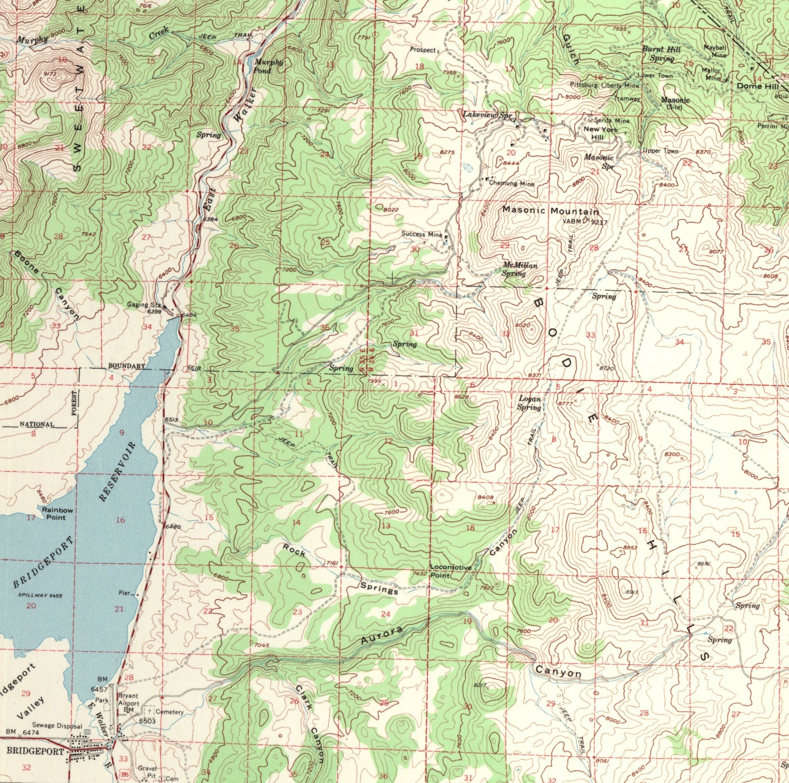
Choose this archive for its comprehensive historical scope: over 200,000 USGS topographic maps created between 1886 and 2006, in digital GEOpdf format on a new 4TB external hard drive. It covers all 50 states and 5 territories, making it a valuable reference set for researchers, historians, or anyone building a serious map library. The limitation is the sheer size - with this many files, you'll need a system for organizing and finding specific maps, and the hard drive is what you'll use to access the collection. If you only need a few quadrants, the archive is far more than you'll ever use.
Advanced Digital Map
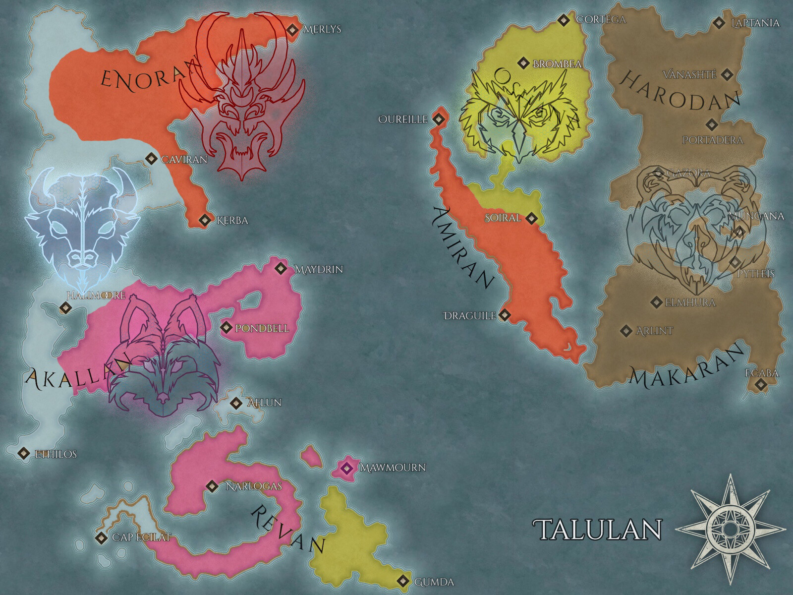
Choose this option if you want a map that's truly yours. The advanced digital map is a custom artwork with multiple layers and editing, and you can share names, backstories, and other details to be incorporated based on the artist's judgment. The result is a 2 to 4K digital file built around your creative vision. The limitation is that it's a single map, not a collection, and it relies on the artist's interpretation of your requests - so if you need a detailed, historically accurate topographic reference, this isn't the tool. It's perfect for storytelling, world-building, or unique gifts, but not for exhaustive geographic research.
Final choice by use case
- Historical research or archival reference: The Entire USA USGS archive is the clear choice. Its breadth means you can trace changes in a region across more than a century without hunting down individual scans.
- Custom storytelling or world-building: The Advanced Digital Map is the right fit. A single, personalized map with your own characters and places brings your vision to life, and the digital format makes it easy to use in games, stories, or art projects.
Whatever you decide, the key is matching the map file to the job you need it to do.