Choosing a map reference file means deciding what kind of problem you're solving. A quick road trip, a fantasy novel, a historical research project, or a classroom display all demand different formats. The options here stretch from a $6.78 Rand McNally physical US map to a $2,500 archive of over 200,000 historic USGS topographic maps, with two custom digital map commissions in between. That's a wide spread, and the right answer depends on whether you need a physical artifact, a personalized digital artwork, or a comprehensive historical database.
Quick Take
If you want a low-cost, carry-anywhere US reference map, the Rand McNally Easyfinder is a solid pick. For fictional worldbuilding or a personalized map with your own names and story details, the custom digital map tiers let you choose between a simple commission and an advanced version with multiple layers and editing. And for professional or archival work that requires every USGS topographic map created between 1886 and 2006, the full digital set on a 4TB hard drive offers a scale that the other options here don't provide.
Price Comparison
| Product | Price | Bar | Best For |
|---|---|---|---|
| Digital Map - Advanced | $28.99 | Custom commissioned map with layers, editing, and special artwork | |
| Custom Digital Map - Simple | $12.99 | Personalized digital map at a lower price | |
| 200,000 Historic USGS Topographic Digital Maps | $2,500.00 | Complete USGS topo archive for research or large-scale reference | |
| Rand McNally Easyfinder United States Map | $6.78 | Portable physical US map for everyday use |
Decision Matrix
| If you need... | Choose... |
|---|---|
| A foldable physical map for quick reference | Rand McNally Easyfinder United States Map |
| A custom map with advanced layers and special artwork | Digital Map - Advanced |
| A simple, affordable custom map commission | Custom Digital Map - Simple |
| A comprehensive archive of historic USGS topos | 200,000 Historic USGS Topographic Digital Maps |
Product Notes
Digital Map - Advanced
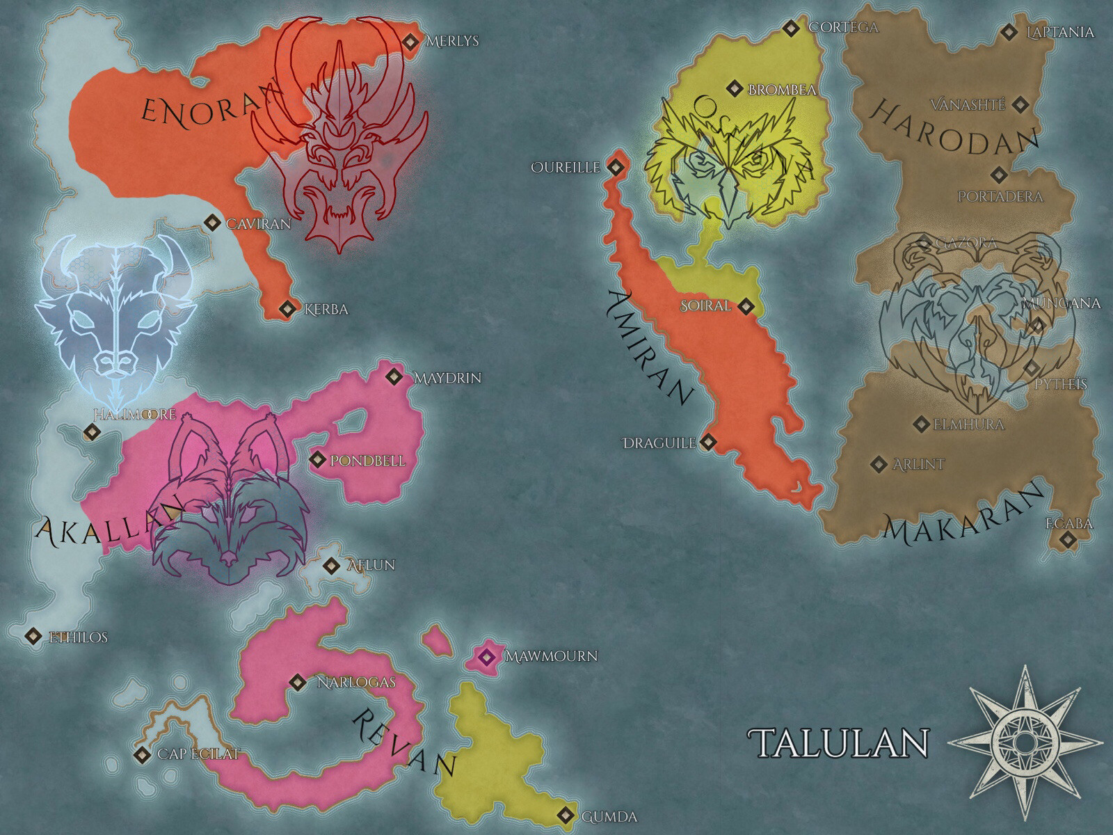
This is the most advanced tier of the custom digital map service. The description says it includes multiple layers and editing, special artworks, and special requests, and it encourages you to provide names, backstories, and other details to give the map character. If you're a writer, game master, or worldbuilder who wants a map with room for creative input, this $28.99 option is designed for that kind of collaboration. The catch is that you receive only digital artwork in 2 to 4K resolution; there's no printed copy included. So you'll need to handle printing or display yourself. For a fully personalized map with advanced editing, that's a reasonable trade.
Custom Digital Map - Simple
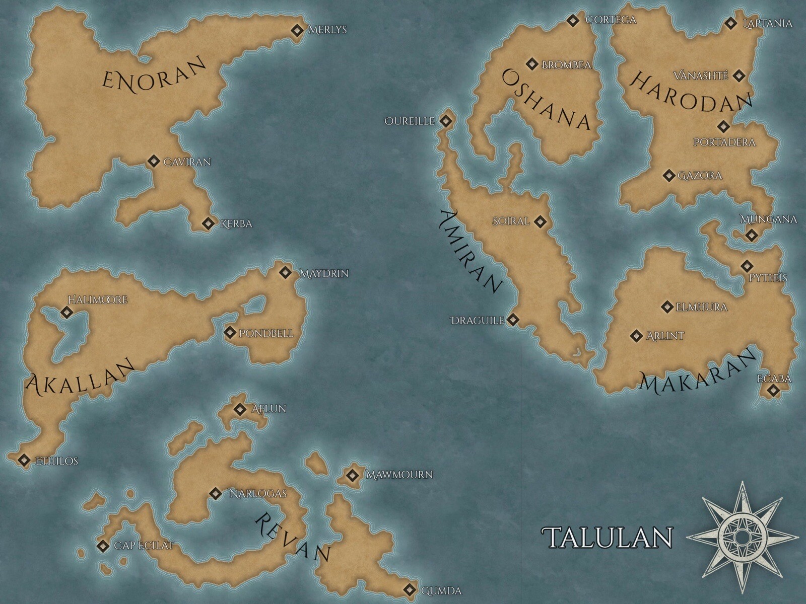
The simpler version of the same service lands at $12.99, and it works best when your request is straightforward. You still get a custom digital map with names and backstories incorporated when feasible, but without the advanced layers, special artworks, and heavier editing of the higher tier. It's a good entry point for getting a unique map without spending a lot. The limitation is clear: don't expect complex design elements or extensive layer control. The final deliverable is still digital artwork in 2 to 4K, so you'll have the same need to manage printing separately. If your project is simple, this keeps the cost down without losing the personal touch.
200,000 Historic USGS Topographic Digital Maps
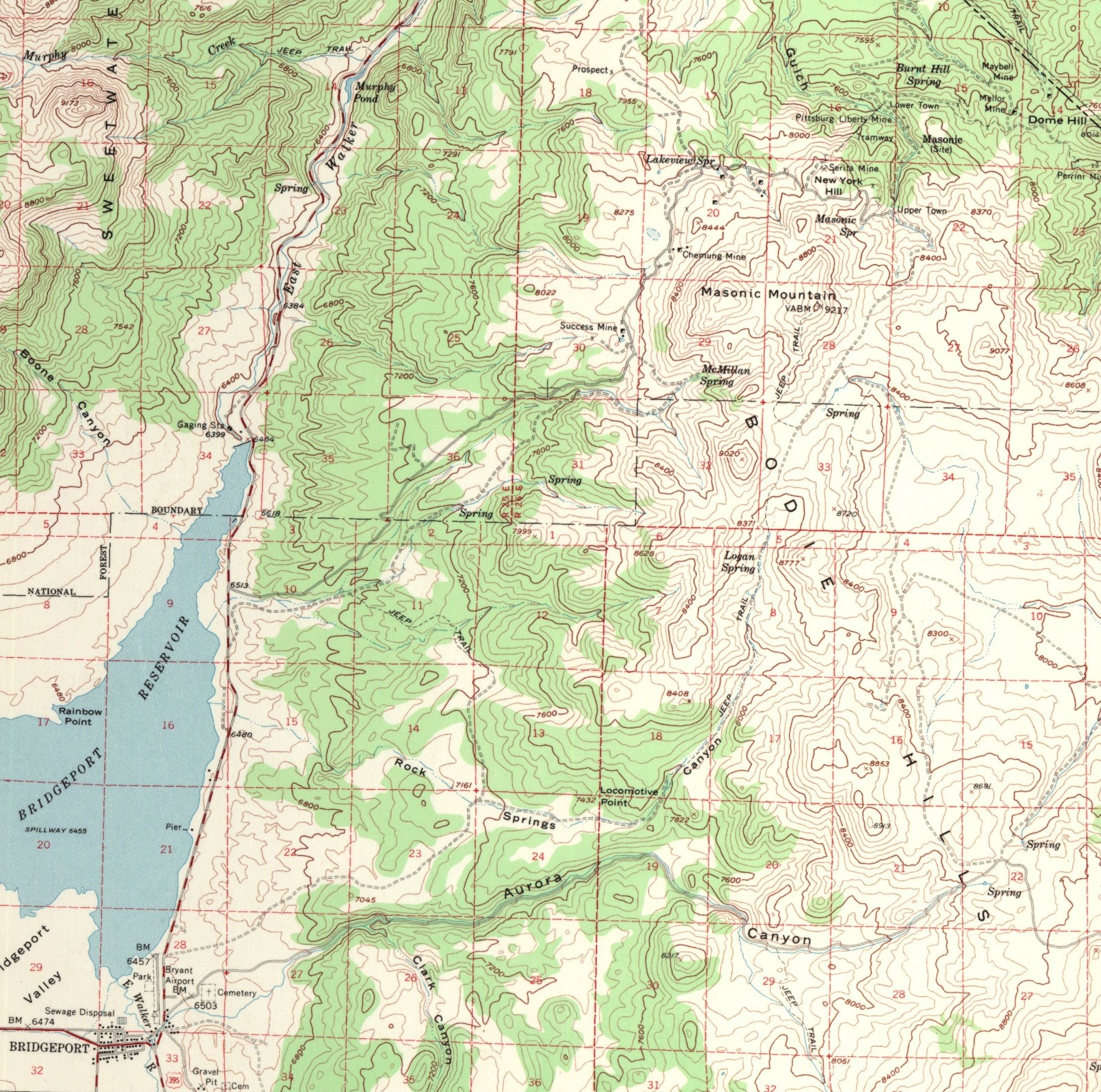
This $2,500 set is a massive historical reference collection: over 200,000 USGS topographic maps created between 1886 and 2006, covering every US state and territory. The files come preloaded on a new 4 terabyte external hard drive in digital GEOpdf format, and each scanned map includes the full map collar. For anyone doing serious land-use research, genealogy, environmental studies, or historical analysis, this set provides that coverage in one package. The obvious obstacle is the price, and you'll also need to work with GEOpdf files, which may require specialized software. But if the scale matters, this is the option that delivers it.
Rand McNally Easyfinder United States Map
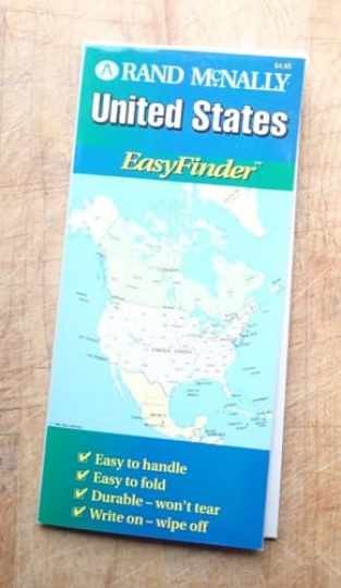
At $6.78, the Rand McNally Easyfinder is the lowest-priced option in this lineup. It's a physical US map published by Rand McNally, in English, and the description says it includes all pages with legible text. This copy is described as well-cared-for with limited use, though minor signs of wear and possible markings may be present, which is worth keeping in mind for a used map. If you want something you can fold up, carry in a car, or tack to a wall without dealing with file formats, this is the most straightforward choice. The downside is that you're stuck with a static map; there's no layering, customization, or historical depth. For quick reference, it does the job.
Final Recommendations
- For a quick, portable US reference map: Rand McNally Easyfinder United States Map
- For a low-cost custom digital map: Custom Digital Map - Simple
- For a rich, customizable map with layers: Digital Map - Advanced
- For a complete USGS historical topo archive: 200,000 Historic USGS Topographic Digital Maps