When you're looking through maps diagrams reference files, the first decision isn't digital versus paper. It's whether you need a complete national archive or a single custom creation. One option is built for deep historical reference; the other is built around your own story and taste.
Quick verdict
Choose the ENTIRE USA Historic USGS Topographic Digital Maps collection if your priority is archival coverage and you want a full national library on a hard drive. Choose the Custom Digital Map - Simple if you want an affordable, personalized digital map and don't need thousands of historical sheets.
Price and format comparison
| Option | Price | Format | What you get |
|---|---|---|---|
| ENTIRE USA Historic USGS Topographic Digital Maps Created 1886-2006 | USD 2,500.00 | Digital GEOpdf | Complete set of historic USGS topographic map scans covering US states and territories, loaded on a 4TB external hard drive |
| Custom Digital Map - Simple | USD 12.99 | Digital artwork in 2 to 4K | One custom map built around your names and backstories |
Where each product wins
The USGS collection wins on breadth and historical depth. It's the stronger pick for archival research and regional comparisons.
The Custom Digital Map - Simple wins on price point and creative flexibility. It suits projects that need a personal touch rather than exhaustive coverage.
ENTIRE USA Historic USGS Topographic Digital Maps Created 1886-2006
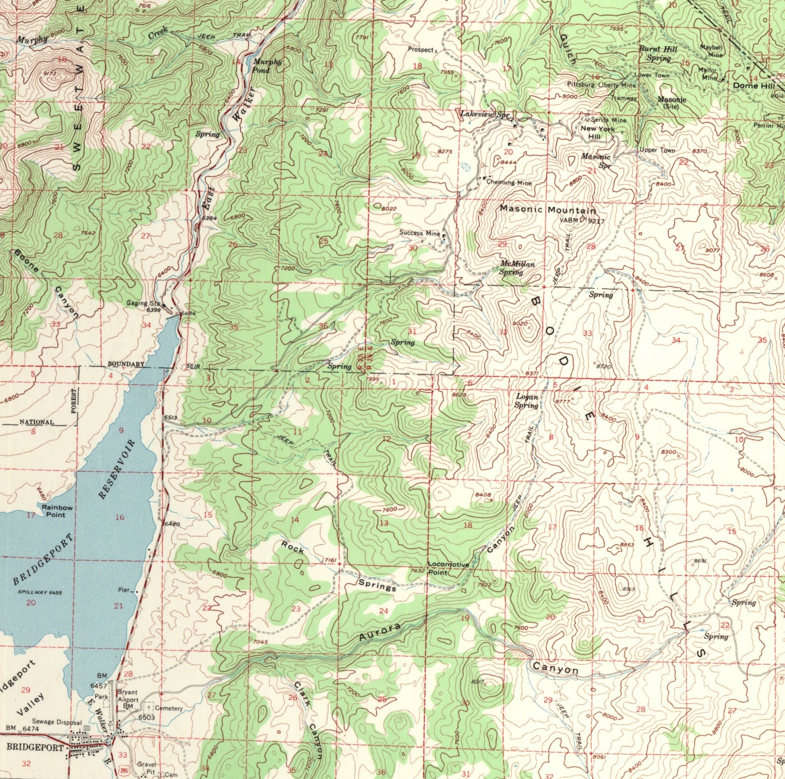
This is a complete national set: historic USGS topographic maps created between 1886 and 2006, with coverage of every US state and territory. The files are delivered as Digital GEOpdfs on a new 4TB external hard drive, and each scan includes the full map with its original collar. At USD 2,500.00, it's an investment best suited to someone who regularly consults historical cartography or needs wide geographic coverage. The flip side is scale: this is a full national library, so if you only need a couple of maps for a presentation or a local project, the breadth is more than you'll use. Treat this as the reference-library option.
Custom Digital Map - Simple
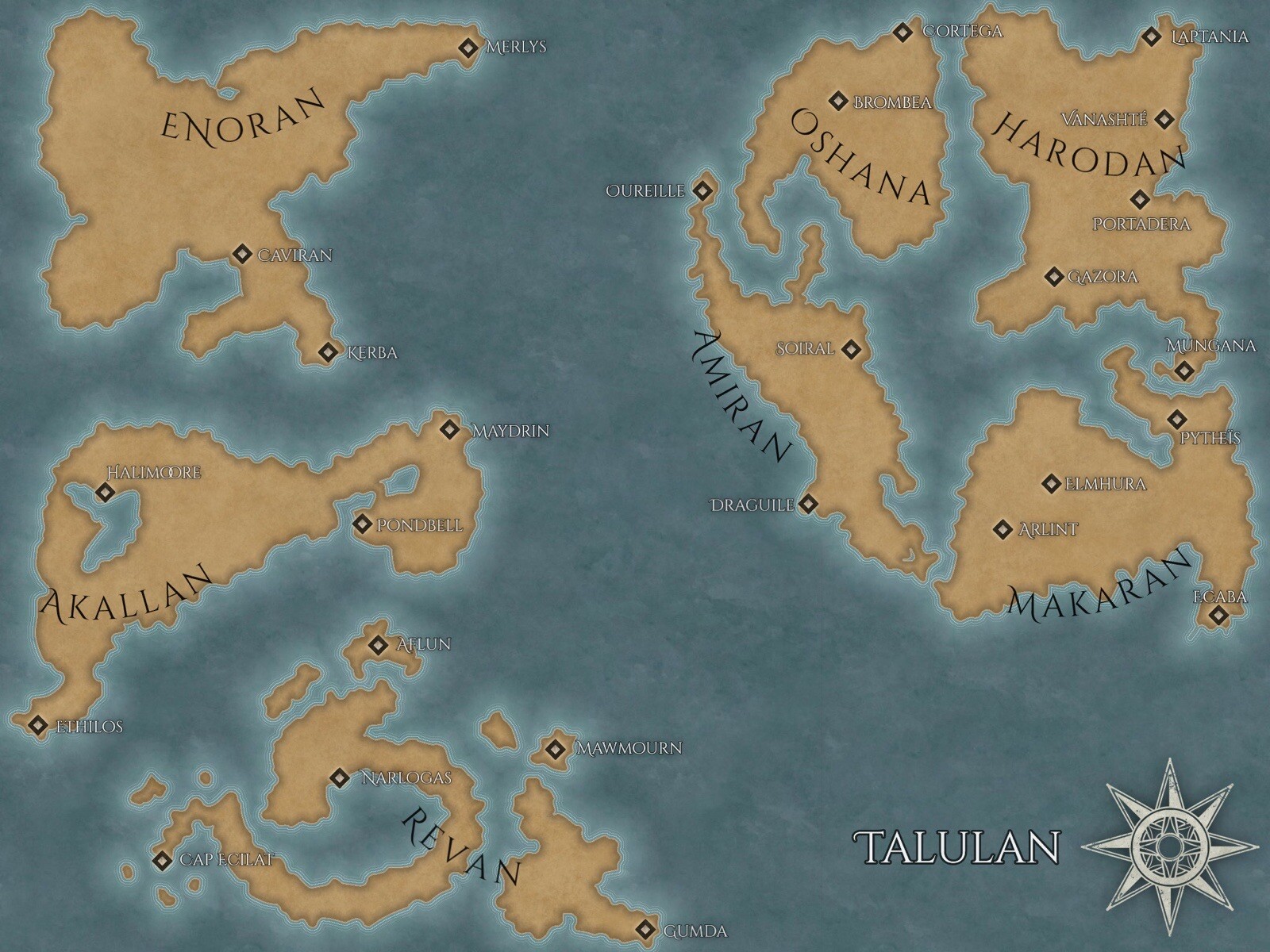
The Custom Digital Map - Simple is the opposite equation: a small, custom digital artwork rather than a massive historical collection. For USD 12.99, you receive original digital artwork in 2 to 4K, and you're encouraged to share names, backstories, and other personal details so the final piece reflects your vision. It's a natural fit for a story setting, a gift, a role-playing campaign, or a decorative family map. The main limitation is the Simple tier's built-in flexibility: details are incorporated when feasible based on the creator's judgment, so the result won't necessarily match every request exactly. If you want a personal map without the expense of a full archive, this keeps the project small and affordable.
Final choice by use case
Choose the ENTIRE USA USGS collection when you need deep historical coverage across the whole country. Choose the Custom Digital Map - Simple when you want an affordable, personalized map for your own project. Match the tool to the job, and either one can be the right choice.